 Date taken : circa mid 1980's ( Colour photo)
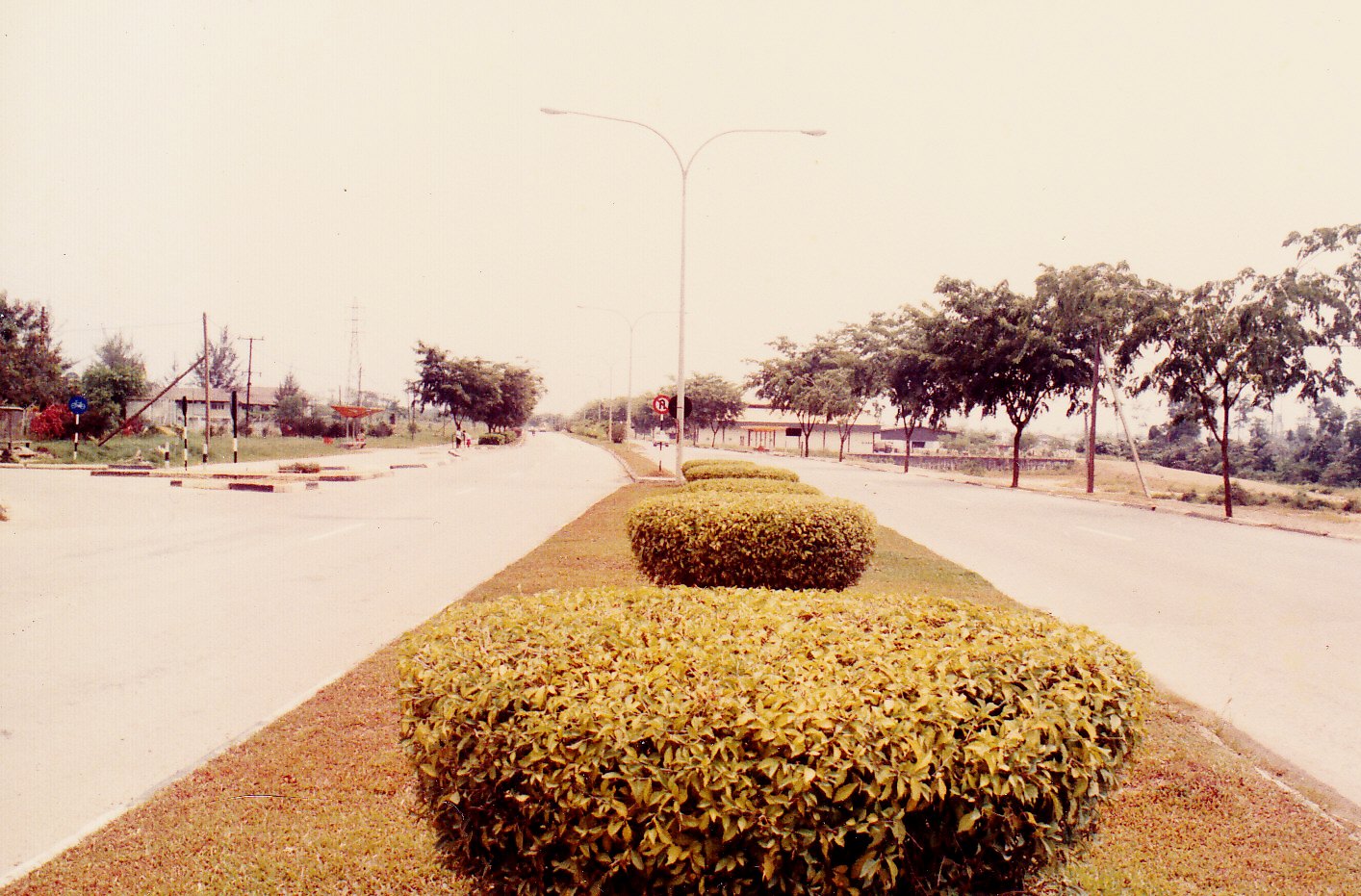
In the 1960's there was a small gravel path road from the Bintulu town that ended at the Bintulu Government Secondary School's (BGSS) junction, seen at left in the picture above. The school is about three miles from Bintulu town. In the early 1970's the road was slightly improved. However it was in the early 1980's that extensive improvement were done that changed the road into a dual carriageway. The school was renamed in Malay as Sekolah Menengah Kerajaan Bintulu (SMK Bintulu)
 View from school junction to town today.
Date taken : 14 Jan'11 ( Digital - Sony Cyber-shot)
With the fast tempo of development planned for Bintulu starting in the 1980's, traffic to and from town increased tremendously and so was the number of heavy vehicles on the road. Many amenities were added to the carriageway like proper pedestrian and cycle-path, bus shed,central median lighting with underground cabling and a pedestrian overhead bridge for safety and convenience.. The local authority took the opportunity to plant Angsana trees (Pterocarpus indicus) as shade trees in order to create the green wash and aesthetics to urban roads.
No comments:
Post a Comment